
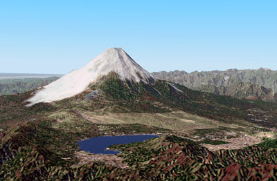
Mt. Fuji in Japan - Created using 3D terrain model from Asia DVD
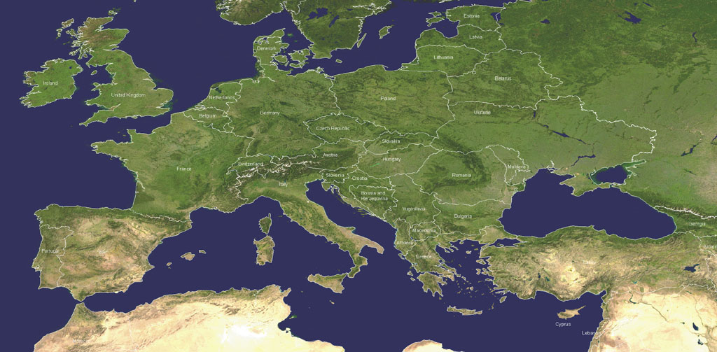
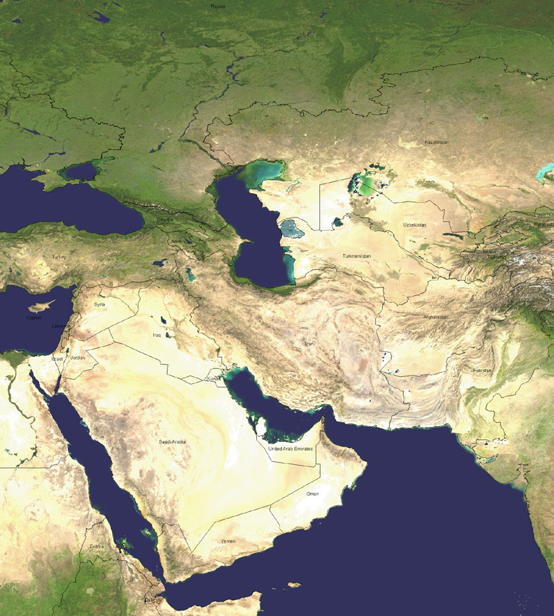
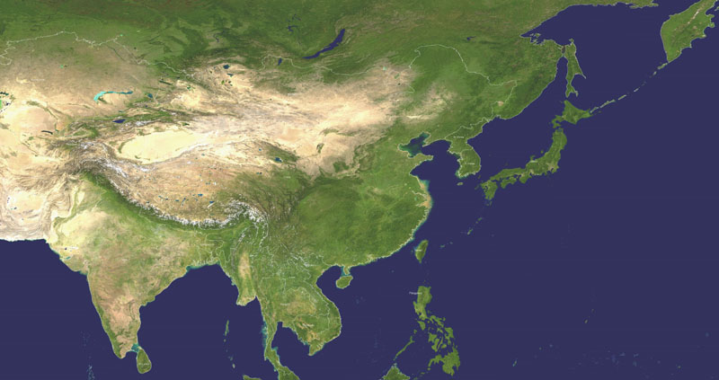
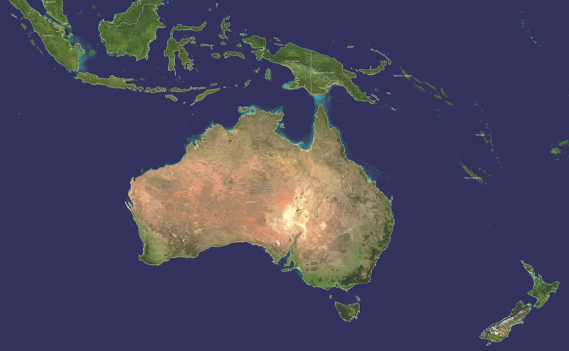
There are seven terrain DVD-ROMs available. Click the link for a region below to view its coverage map:
Each 3D Terrain DVD-ROM contains thousands of 3D Terrain Models. The resolution is 90 meters between elevation samples. These DVD-ROMs use elevation data from NASA's SRTM mission. Areas that had voids (no data available) have been filled in to provide continuous coverage. Water bodies have been leveled and the coastlines were corrected.
The terrain models on these DVD-ROMs are ready to use immediately. No decompression is necessary. Just select the terrain models on a map using Natural Scene Designer's visual terrain loading screen. You can even select and combine multiple adjacent terrain models with one mouse stroke!
Note: These terrain models require Natural Scene Designer 4.0 to load.
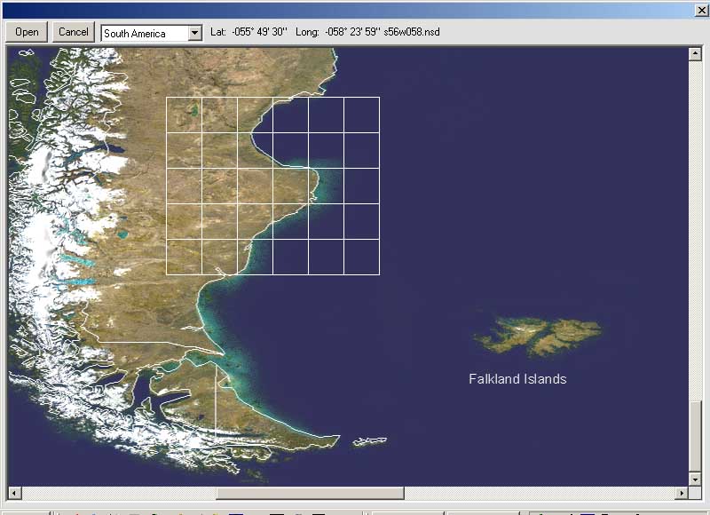
Natural Scene Designer's Terrain Loading Screen makes it easy to get the area you want.